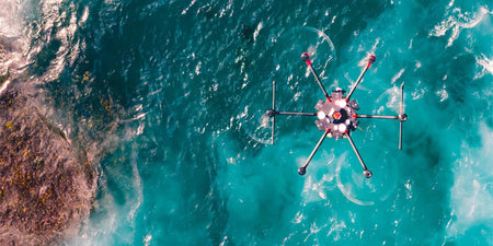


Photogrammetry is the process of collecting reliable information on the world around and was one of the first applications of drones when companies and customers began mounting cameras to them.
The history of photogrammetry
Photogrammetry dates back to the 1490s when Leonardo da Vinci started experimenting with related concepts. Later in 1849 the first recorded use of photogrammetry was recorded to create a topographic map.
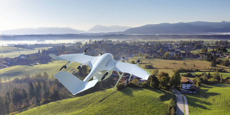
As time has gone on photogrammetry has continued to gain popularity in part due to its ease of access when compared to other similar technologies and the continued advancements in camera and capture technology.
Thanks to the above two mentioned advantages drone-based photogrammetry has been popular for many years and will continue to do so.
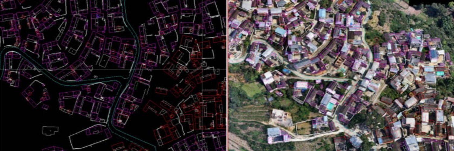
Photogrammetry in Australia: use cases (air, land, water)
Photogrammetry has many use cases that cover mapping and modelling with the following list some of the more common ones in Australia.
- Stockpile Monitoring
- Mining Exploration
- Traffic Monitoring
- Pit Calculations
- Blast Zone Monitoring
- Haulage Road Monitoring
- Conveyor Belt Inspection
- Stope Inspection
- Tailings Dam Monitoring
- Ground-based Site Documentation
View all photogrammetry use cases
The future of photogrammetry
Photogrammetry will continue to be one of the most common applications in the drone world and will continue to expand in water and land drones as time progresses and the need for it is there. That being said, as the cost of LiDAR continues to decrease, many use cases for photogrammetry will slowly be replaced by LiDAR in the air and on the ground.
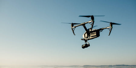
Image via DJI