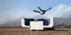


Evoegy Consulting, a leader in energy asset lifecycle management, recently developed the drone arm of its business to extend its capability in photogrammetric survey and adopting LiDAR. Evoegy has previously used smaller drones but required a larger platform.
Brief
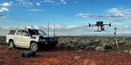
Chris from Evoegy got in touch with our team member Camille, looking for drone platform that could be used to support in the production of survey quality point clouds, digital elevation maps, and orthomosaic maps for a client project located around 50km2 from Port Augusta, South Australia.
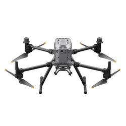
The Evoegy team had a general idea of what they were looking for, initially looking at the Matrice 300 RTK and Zenmuse L1 from DJI.

Solution
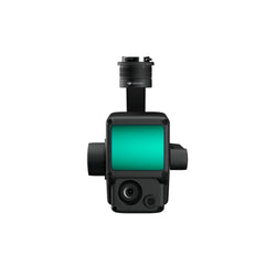
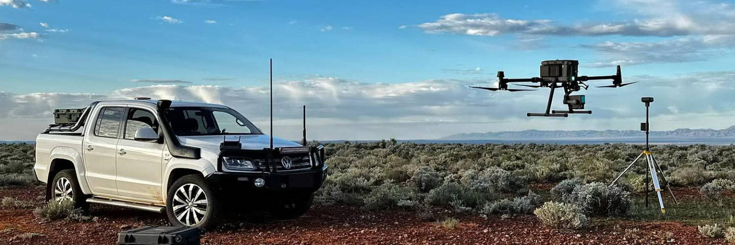
After working through the potential options and leaning on the knowledge of Camille, Chris and the team landed on the newer DJI Matrice 350 RTK. The M350 features a new transmission system, improved batteries rated for four hundred cycles, and increased safety features, including arm lock detection. M350 is also compatible with DJI’s Zenmuse L1 LiDAR payload, making for the perfect combination.
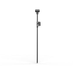
Chris stressed the importance of the data being precise and accurate, as coming back to re-collection wasn’t an option. This enforced the M350 and L1 as the solution, thanks to its ability to display the point cloud in real-time, ensuring the required data was captured. Camille also suggested the inclusion of DJI’s D-RTK 2 base station, which provided the team with centimetre-level accuracy.
Camille’s recommendation for equipment was accurate and we are appreciative of the advice as this would have hindered our survey materially if we did not procure the advised package.
Chris explained that the team often operates in remote locations without access to power, prompting the need for additional batteries and the BS-65 battery charger. Additionally, Evoegy used a 300W solar and 2,200W generator system to ensure all the M350’s batteries were charged and ready.

Result
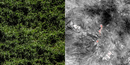
After completing a test project and familiarising themselves with the M350 and L1, the Evoegy team confidently used the combination in over 85 flights, lasting round 27 minutes each over a six-day period to capture over 680GB LiDAR and photographic data.
Evoegy is very appreciative to have Sphere Drones as a preferred supplier, their service has been high-class throughout our launch of surveying services using new technology and operating in areas Evoegy has not previously operated in.
The M350 and L1 allowed Chris and the team to increase their mapping efficiency and data capture rate while ensuring the data quality remained high, with the L1’s ability to display a point cloud in real-time playing a big part in ensuring the required data was captured.