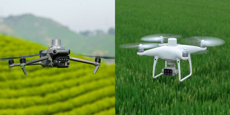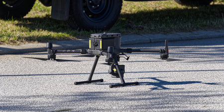


DJI's latest multispectral drone, Mavic 3M is getting a new update today, making it the first since its launch last year. The update brings a number of new features and improvements to the Mavic 3M.
Firmware information
The update is rolling out, starting today, and is available from the Mavic 3M's controller or via DJI's Assistant 2 tool.
| DJI Mavic 3M version | v06.01.06.06 |
| DJI RC Pro Enterprise version | v02.00.04.07 |
| DJI Pilot 2 version | v6.1.1.1 |
| DJI Terra version | v3.6.6 |
| DJI Assistant 2 (Enterprise Series) version | v2.1.7 |
| DJI Assistant for MG version | v2.1.3 |
What's new
DJI Mavic 3M now has Terrain Follow for both real-time and DSM modes. Terrain Follow allows the Mavic 3 Multispectral to complete Smart Oblique (DSM Follow only) and Linear missions while maintaining the same height to the terrain despite changes in the terrain.
Mavic 3M now has a new Point of Interest feature, allowing it to fly around an object to capture omnidirectional data of it. The RGB camera has been given 8x digital zoom support.
DJI has lowered the minimum altitude for Real-Time Follow mode, allowing for flights from 30 metres to 200 metres, previously 80 metres to 200 metres. This should allow for higher resolution data closer to the ground.
Mavic 3M now has support for encryption in Network Security Mode found in the DJI Pilot 2 app.
Other changes
- Added ability to customise the camera angle for Mapping tasks. When planning a flight route, the aircraft orientation and gimbal pitch angle can be set for the route.
- Added ability to execute flight tasks during flight for fast and efficient execution of flight tasks at the current location. Tap the flight route icon to create or select a flight task on the camera or map view of the DJI Pilot 2 app.
- Added ability to set Safe Takeoff Altitude for flight tasks to improve flight safety. This parameter setting is only valid when the aircraft executes a flight task before takeoff. If the aircraft starts a flight task during flight, the safe takeoff altitude will not take effect.
- Added ability to import MBTiles format maps downloaded from Maptiler. The map layer can be customised in the DJI Pilot 2 app.
- Added the ability to export logs by different modules in the DJI Pilot 2 app.
- Adjusted the XMP Tag field to meet third-party development requirements.
- Optimised firmware update prompt in the DJI Pilot 2 app.